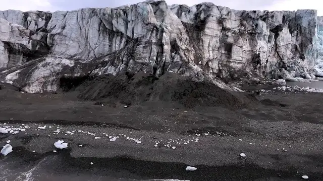

Antarctica: Drone captures sea ice edge during Turkish Arctic expedition in Norway's Svalbard.
Jul 22, 2026
SHOTLIST: SVALBARD, NORWAY (JULY 16, 2026) 1. VARIOUS OF DRONE SHOTS OF SEA ICE EDGE 2. VARIOUS OF RESEARCH VESSEL NEAR SEA ICE EDGE/ ICEBERGS/ POLAR BEAR ON SEA ICE SVALBARD, NORWAY - JULY 16, 2026: Drone footage captured on Thursday, July 16, shows the sea ice edge at 81 degrees north latitude in Norway's Svalbard archipelago. Turkish researchers participating in the 6th National Arctic Scientific Research Expedition, known as TASE-VI, reached the sea ice edge at 81 degrees north, considered one of the northernmost points on Earth. Meanwhile, scientists observed and tracked Arctic wildlife, including polar bears, walruses, whales and seals, throughout the voyage. Antarctica, which has no indigenous inhabitants and is not ruled by any country, is called the “peace and science continent.” It has served as a scientific research zone since the signing of the 1959 Antarctic Treaty. The lowest temperature ever recorded in Antarctica, in 1983, was -89 degrees Celsius (-128 Fahrenheit).
Show More Show Less #news