
China: China pushes boundaries of remote sensing satellites.
Jul 1, 2026
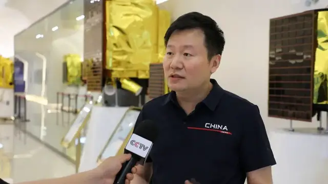
Storyline China pushes boundaries of remote sensing satellites China’s commercial space program has maintained steady growth this year, especially with satellite technology advancements in optics, radar and hyperspectral imaging. In mid-June, a rocket payload with 8 satellites launched into outer space. These are the latest generation of high-resolution commercial remote sensing satellites, equipped with the same technology as those in the Jilin-1 constellation, the world’s largest sub-meter-level constellation of 161 remote sensing satellites. Zhong Xing, Chief Engineer, Chang Guang Satellite Technology: "Our constellation now achieves dozens of daily revisits to any point on Earth. We've gone from building one satellite every few years to dozens or even hundreds per year. Our focus is on batch production—for example, rapidly producing high-precision aspherical mirrors while keeping error margins consistent across every unit." Synthetic aperture radar, or SAR, satellites have also been deployed this year. In March, two SAR satellites were launched that have sub-meter resolution, enabling all-weather, 3D Earth observation. Zhang Heng, Senior Engineer, China Siwei Surveying and Mapping Technology Co., Ltd.: "This is a digital elevation model of the Jungar Coalfield in Inner Mongolia. Blue indicates a river at low elevation, red shows higher ground—with a difference of roughly one to two thousand meters. The entire topographic map can be generated in just hours after data acquisition, enabling rapid, large-scale geographic base mapping." China is also advancing its deployment of hyperspectral satellites which have lenses that go beyond visible light, allowing the viewer to distinguish the difference between forest or rice crops, for example. [Restrictions: No access Chinese mainland]
Show More Show Less #news