Up next in 10 CANCEL
PLAY NOW
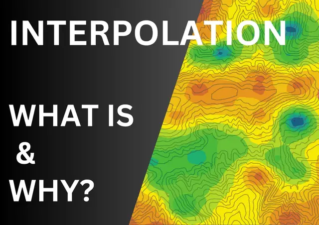
What is Interpolation? Sep 1, 2024
What is InterpolationIn this, we've covered what interpolation is, its purpose, how to choose the right technique, and how it’s applied in GIS. Remember, understanding interpolation is key to making sense of the complex world of spatial data.
Show More Show Less #Geographic Reference
#Maps
Recommended Videos
play_arrow
3:17
play_arrow
3:17
play_arrow
3:36
play_arrow
8:50
play_arrow
14:56
1
3:38
GIS: Revolutionizing Military Strategy and Operations
Jul 5, 2024
2
3:38
GIS: Revolutionizing Military Strategy and Operations
Jul 5, 2024
3
1:27
Satellite_Earthquake_Prediction
Jun 30, 2024
4
3:04
How AI and aerial imagery can improve damage assessments in agricultural insurance
Aug 19, 2022
5
4:47
Solar Induced Chlorophyll Fluorescence for Crop Stress Monitoring
Mar 27, 2022
6
2:58
How Geospatial Technologies Are Bringing Another Green Revolution In India
Mar 9, 2022
play_arrow
5:35
What is Interpolation?
Sep 1, 2024
8
4:12
Why SWIR Band in Remote Sensing
Dec 18, 2024
9
4:25
Why does NDVI, NDBI, NDWI Ranges From -1 to 1?
Feb 24, 2025
10
4:49
Types of Overlap in Photogrammetry Explained
May 31, 2025