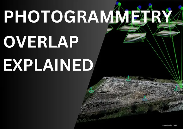

Types of Overlap in Photogrammetry Explained
May 31, 2025
📸 Learn the secrets behind perfect drone mapping and 3D model accuracy!
In this video, we break down the Types of Imagery Overlaps in Photogrammetry — including forward overlap, side overlap, and triple overlap. Discover how overlaps help create accurate 3D maps and why more overlap isn’t always better!
🧠 Understand:
What is image overlap in photogrammetry
Ideal overlap percentages (70%, 80%, etc.)
Common problems with too much overlap
Solutions and best practices for drone pilots
Real-world exceptions where high overlap is essential
Whether you’re flying drones for land surveying, construction, agriculture, or GIS, mastering overlap is key to accuracy and efficiency.
✅ Watch till the end to learn about exceptions to the rule and get actionable tips!
📽️ Also, check out our related video: Basics of Photogrammetry – a perfect guide for beginners!
👉 https://www.youtube.com/watch?v=t-x_9aXr2hM&t=21s
🔔 Subscribe for more tutorials on drone surveying, photogrammetry, and GIS resources.
💬 Got questions or feedback? Leave a comment below.
👍 Like | 🔁 Share | 🔔 Subscribe
#Photogrammetry #DroneMapping #OverlapInPhotogrammetry #GISBasics #DroneSurveyTips #AerialSurveying #MappingTutorial
Show More Show Less