1
 3:38
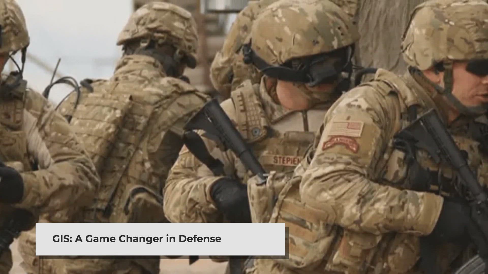
GIS: Revolutionizing Military Strategy and Operations
gisresources.com
2
3:38
GIS: Revolutionizing Military Strategy and Operations
gisresources.com
3
1:27
Satellite_Earthquake_Prediction
gisresources.com
4
3:04
How AI and aerial imagery can improve damage assessments in agricultural insurance
gisresources.com
5
4:47
Solar Induced Chlorophyll Fluorescence for Crop Stress Monitoring
gisresources.com
6
2:58
How Geospatial Technologies Are Bringing Another Green Revolution In India
gisresources.com
7
5:35
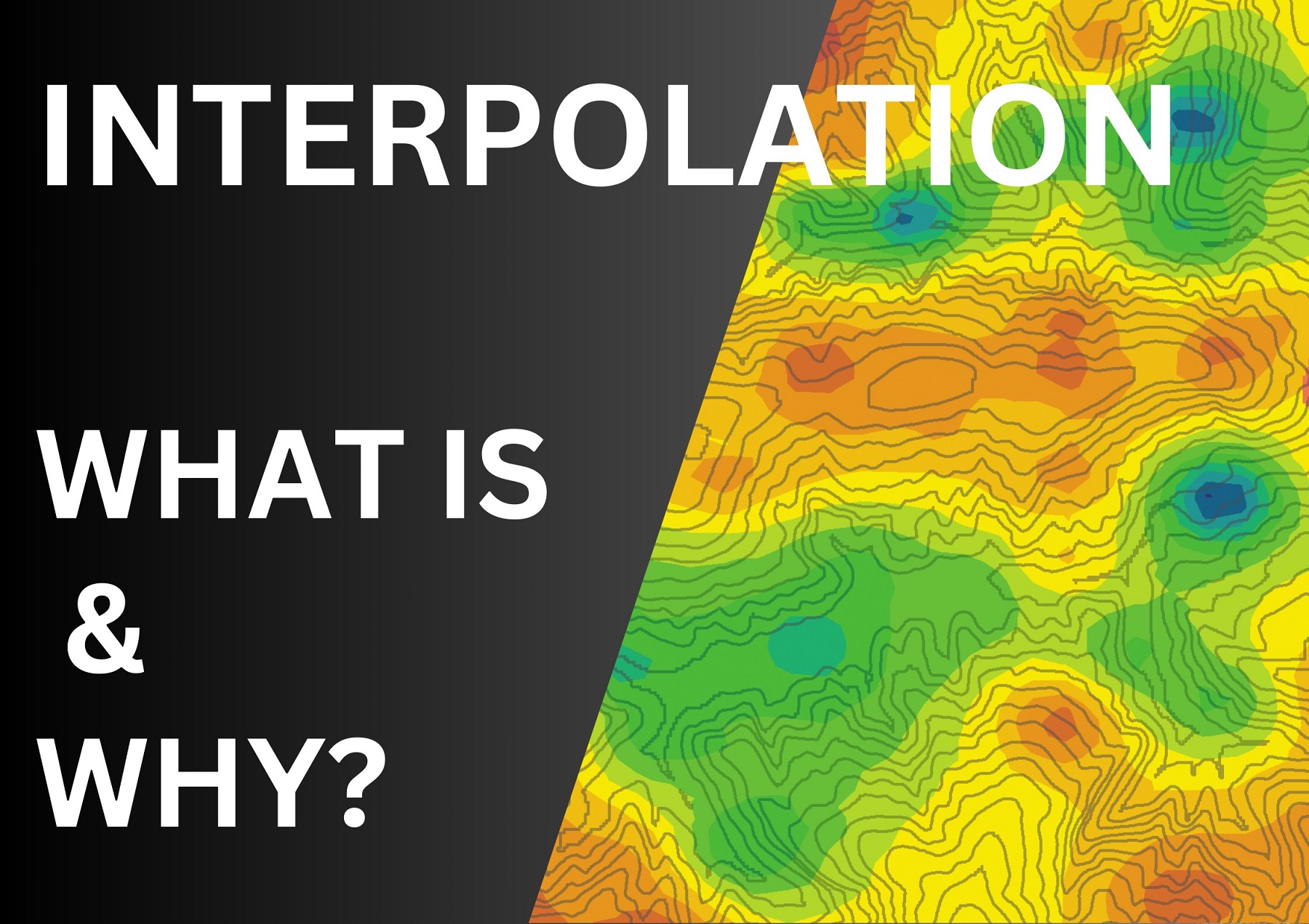
What is Interpolation?
gisresources.com
8
4:12
Why SWIR Band in Remote Sensing
gisresources.com
9
4:25
Why does NDVI, NDBI, NDWI Ranges From -1 to 1?
gisresources.com
10
4:49
Types of Overlap in Photogrammetry Explained
gisresources.com
3:38
GIS: Revolutionizing Military Strategy and Operations
gisresources.com
2
3:38
GIS: Revolutionizing Military Strategy and Operations
gisresources.com
3
 1:27
Satellite_Earthquake_Prediction
gisresources.com
4
 3:04
How AI and aerial imagery can improve damage assessments in agricultural insurance
gisresources.com
5
 4:47
Solar Induced Chlorophyll Fluorescence for Crop Stress Monitoring
gisresources.com
6
 2:58
How Geospatial Technologies Are Bringing Another Green Revolution In India
gisresources.com
7
 5:35
What is Interpolation?
gisresources.com
8
 4:12
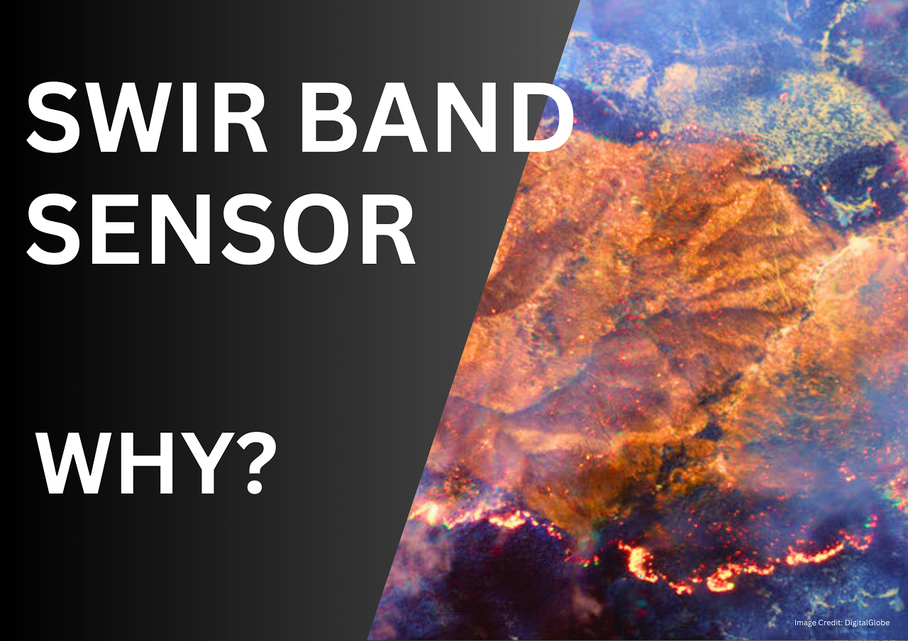
Why SWIR Band in Remote Sensing
gisresources.com
9
 4:25
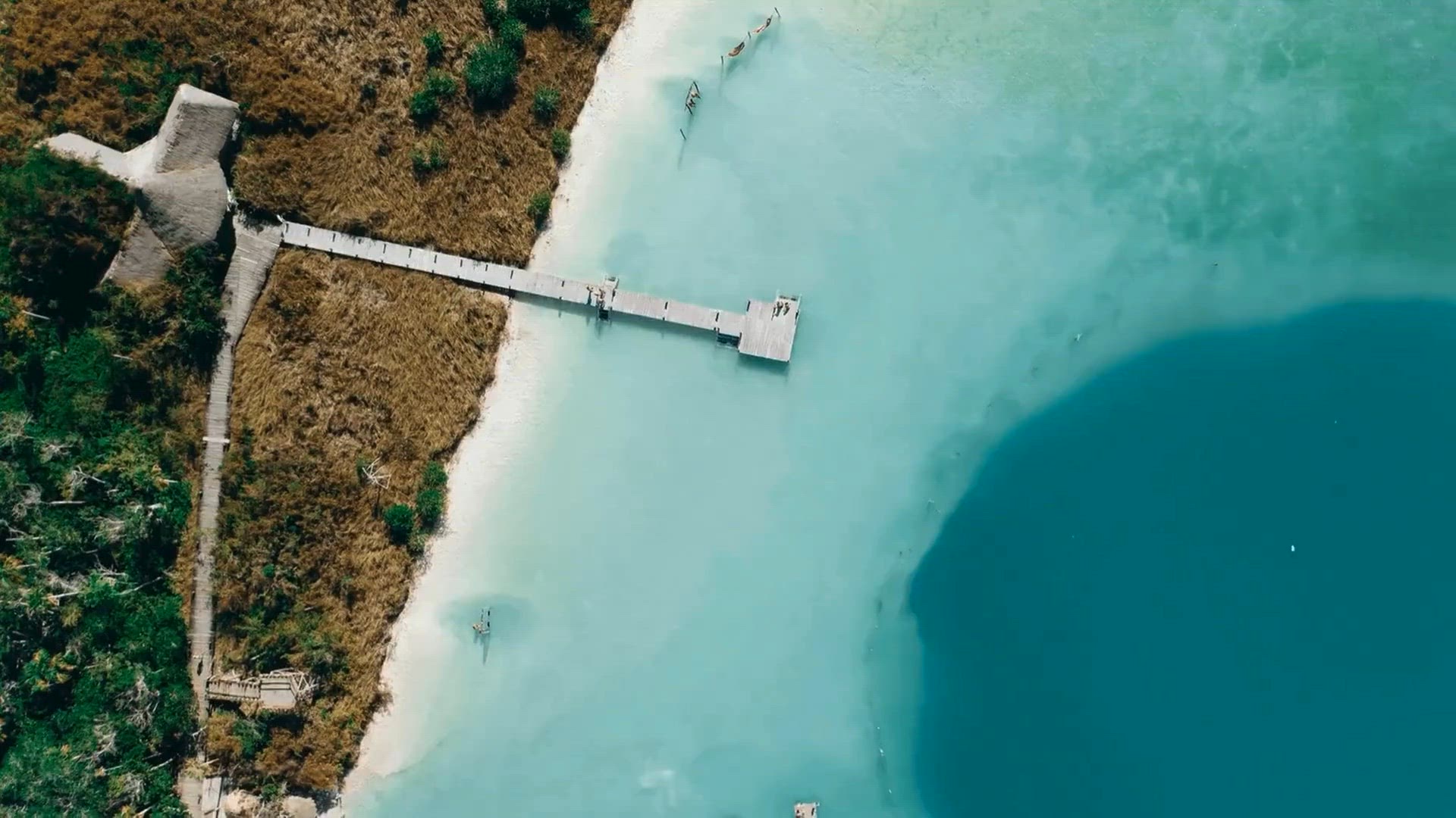
Why does NDVI, NDBI, NDWI Ranges From -1 to 1?
gisresources.com
10
 4:49
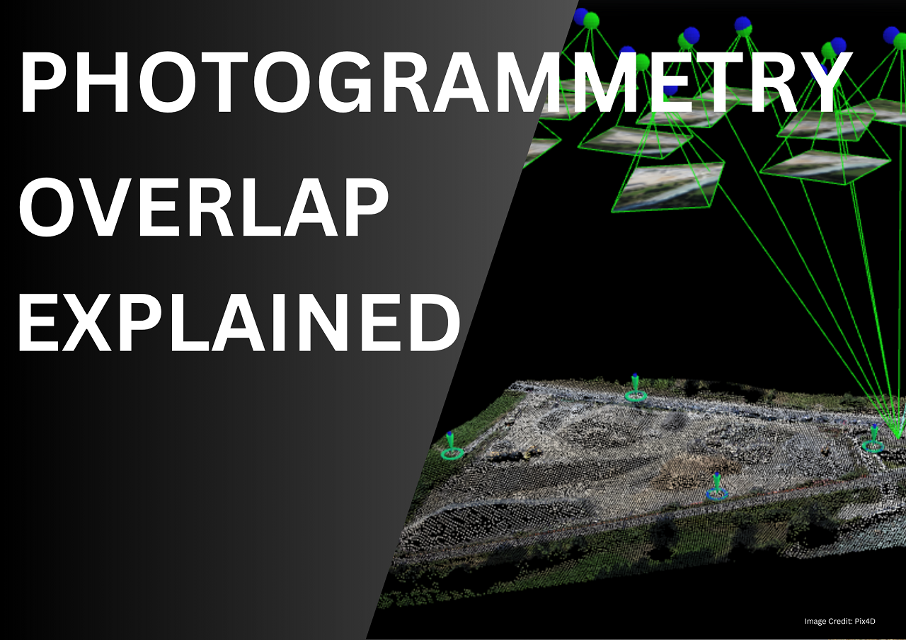
Types of Overlap in Photogrammetry Explained
gisresources.com