
Hungary's Geography is Weird
Jun 13, 2026

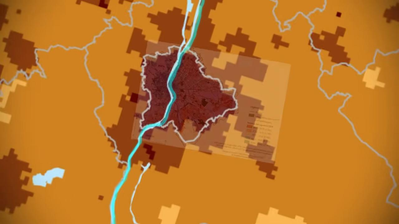
The geography of Hungary was permanently hollowed out in 1920. Following the Treaty of Trianon, the nation lost over 70% of its land area, stripping away the rugged, protective barrier of the Carpathian Mountains and the deep mineral basins that once defined its outer perimeter. Compressed into the flat, low floor of the Pannonian Basin, modern Hungary was left entirely exposed, lacking natural borders, domestic energy sources, or a coastline. In this flattened landscape, two massive river systems running uninterrupted from north to south—the Danube and the Tisza—became the most critical defining lines on the map. This physical split effectively slices the country into three distinct territories: the industrial, well-connected hills of Transdanubia; the densely populated sandy corridor of the Interfluve; and the low-lying, climate-vulnerable plains of the Trans-Tisza region. TIMESTAMPS: 00:00 The Internal Borders of a Landlocked Nation 00:46 The Two Rivers Splitting it Apart 02:04 Hungary Used To Be Bigger 03:41 The Losses of Triannon 05:40 Transdanubia: The Western Economic Engine 07:14 The Roman Border: Inside the Sandy Interfluve 10:19 Transtisza: The Calvinist Rome & The Marsh Buffer 15:37 The Exposed Plain: Living Without Natural Barriers 16:38 The Permanent Vulnerability of Modern Hungary Become a member on Patreon & get your name in the credits + exclusive content! https://www.patreon.com/generalknowledge Stay up to date on more content from me: Tiktok: https://www.tiktok.com/@generalknowledge.pt Instagram: https://www.instagram.com/genknowledge/ Join the Discord Server: https://discord.com/invite/f4neAVWZfF Business Contact: [email protected] #GeneralKnowledge
Show More Show Less #Hobbies & Leisure
#education